Stochastic modelling of tropical cyclone tracks
Tropical cyclones are storms that cause damages of many billions US$ for insurance and reinsurance companies every year. An extreme example is Hurricane Katrina that devastated New Orleans in August 2005.
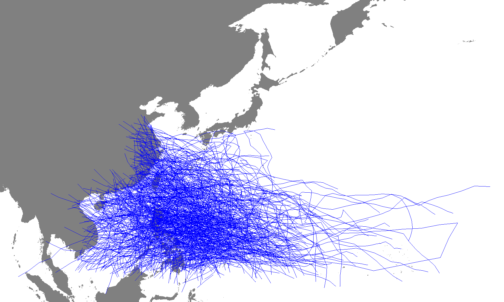
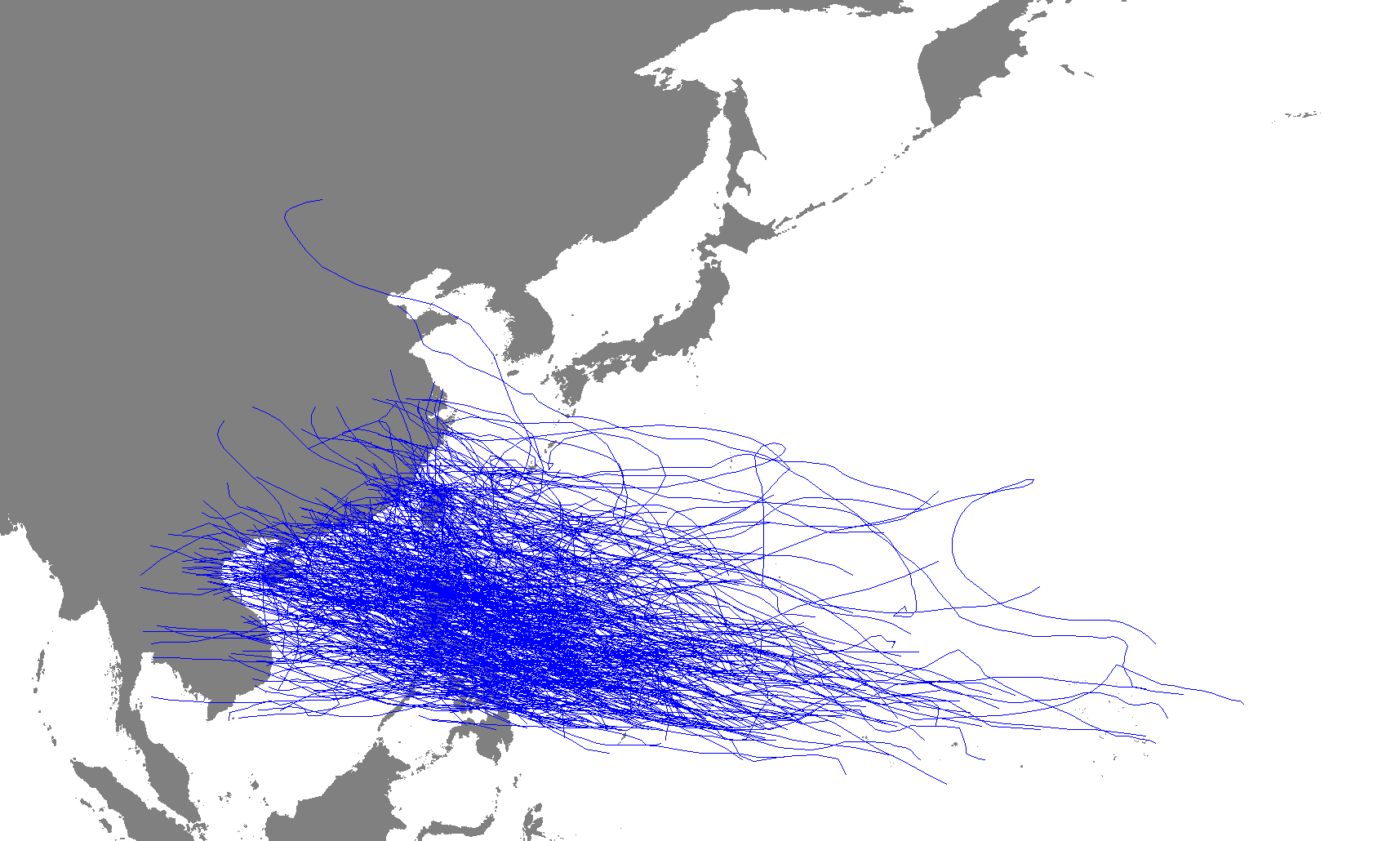
Important regions where these storms occur are the northwest Pacific Ocean and the Atlantic Ocean. What is crucial for underwriting and premium calculation by insurance companies are the shape and position of the tracks of these storms, especially the positions where the storms that form on the sea "make landfall", as well as the maximum wind speeds that are reached within the storm.
Thus a stochastic model for tropical storms that describes the tracks of the respective storms as well as the associated maximum wind speed is developed within the scope of this project and fitted to the situation of different ocean basins. Furthermore, the data is checked for trends or cycles (e.g. in conjunction with climate change), and how these potentially affect storm activity, intensity and frequency of occurence.
Contact person: Prof. Schmidt.